
A volcanic landscape gazing out over white pristine beaches, to islands peppering a sparkling Pacific Ocean, this is the East Coast of the Coromandel Peninsular. My wife and I are retired, keen walkers but prefer shorter walks, ideally with great views. The 7 walks on this blog are ones we have completed and really enjoyed. If you have any amendments, updates or suggestions, please do forward them to us – Over60s.travel.blog Below is our first Walk down to Cathedral Cove at Hahei.
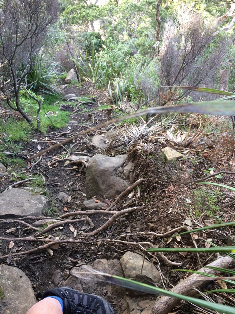
Walk 1 – Iconic Cathedral Cove Start of the Walk Car Park Hahei to Cove & Return – 6.25km & 280m of elevation
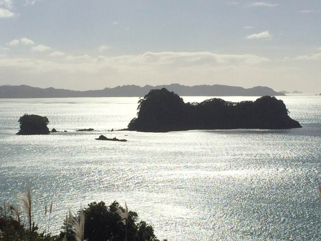
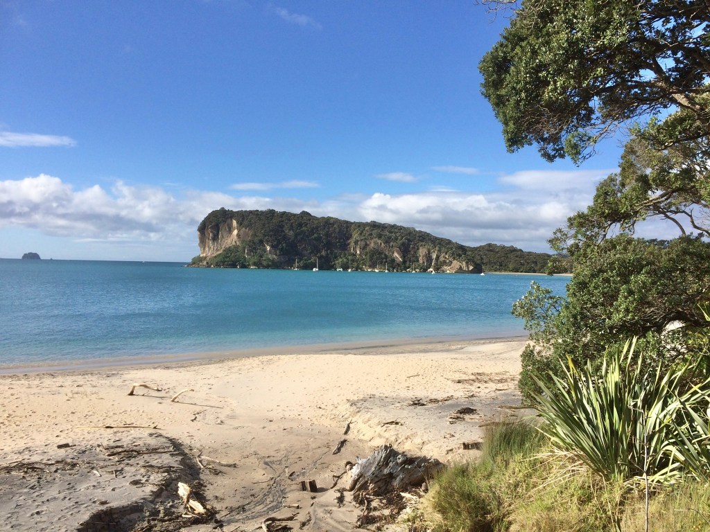
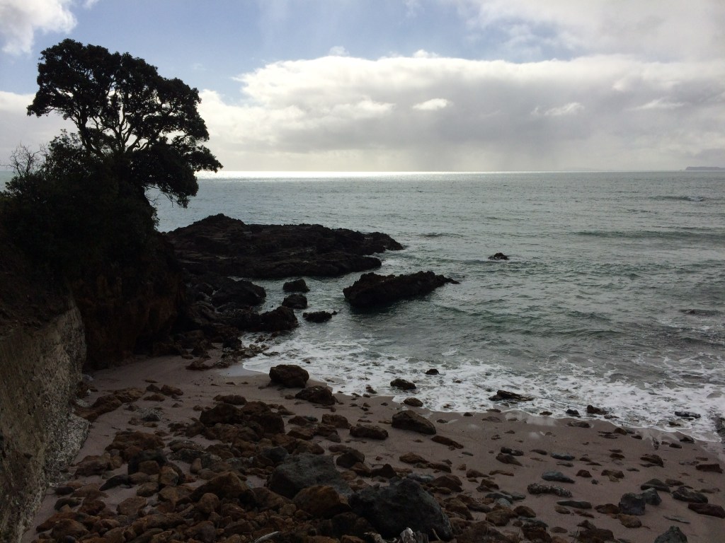
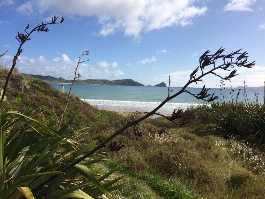
Views from Car Park 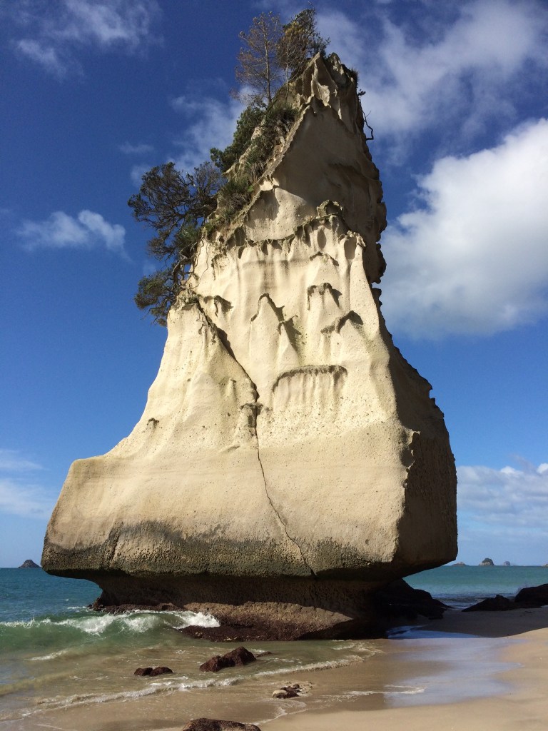
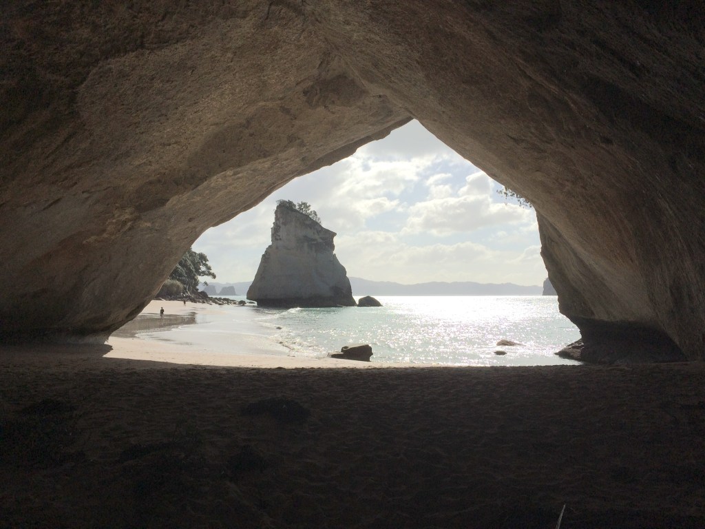
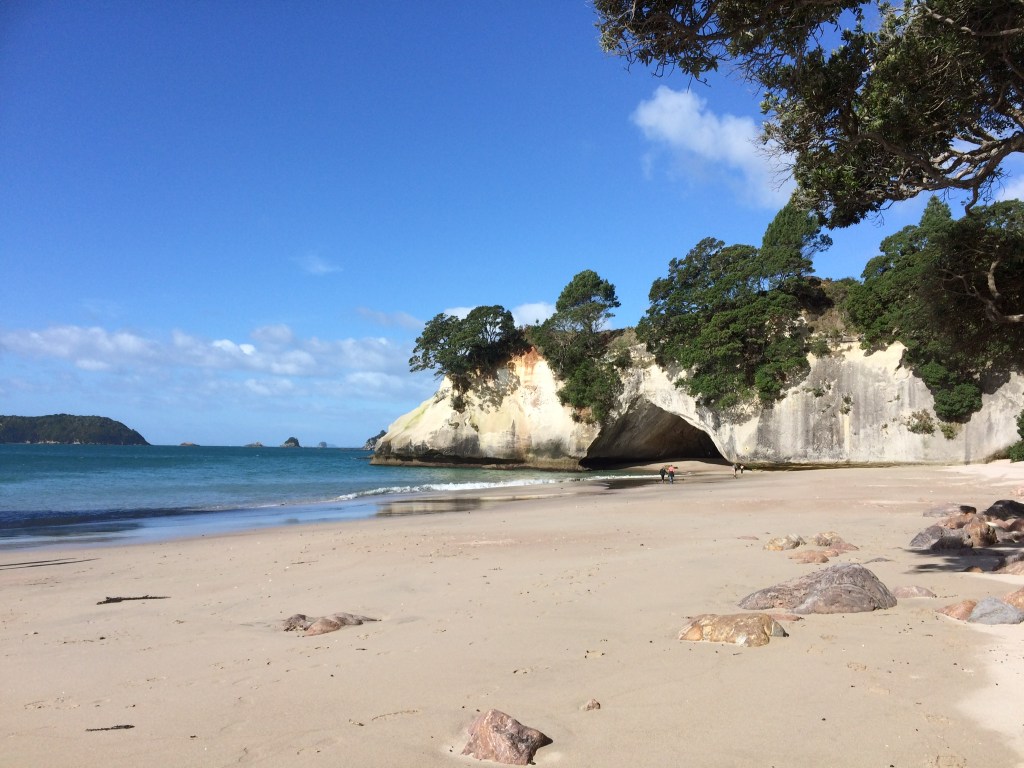
Cathedral Cove
The time of year will dictate how you can access this walk. Hahei and it’s neighbour, Hot Water Beach, are very popular destinations for visitors. There is a small “ start of the walk” car park at the top of the walk above the Cove on the north side of Hahei, but it’s more reliably available out of holiday season & weekends. In summer a Shuttle Bus runs from a main car park, situated on your right as you initially approach Hahei village and this will likely be how you access the walk.
The Cathedral Cove walk, with the exception of a final flight of wooden steps down to the beach itself, is all on a proper tarmac pathway. This makes for a great firm walking surface and provides access for as wide a range of abilities as possible. Please note the wooden steps down to the beach are moderately steep, so take extra care closer to the beach as the steps there seem to be in the shade most of the day.
This walk is ideal for a half or whole day excursion, picnic, swim etc etc, or if you must then do jog up and down in an hour!! It’s well worth taking as much time as you can. The views from the top of the walk are inspirational, and in the Cove itself just let your imagination run riot, have a swim, enjoy a picnic, throw a frisbee or just sit quietly and take in the beauty of Cathedral Cove.
On the way down or back you will see two side walks to separate beaches, if you have the time, do explore.
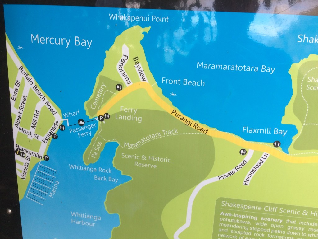
Walk 2 – Whitianga Ferry to Flaxmill Bay and Return via Maramatotora Track & Pa Site to Ferry and Whitianga – approx 3km.
Front Beach 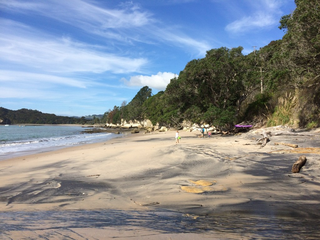
Flaxmill Bay 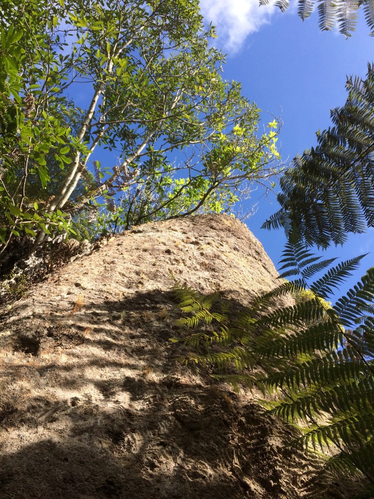
Maramatotara Track 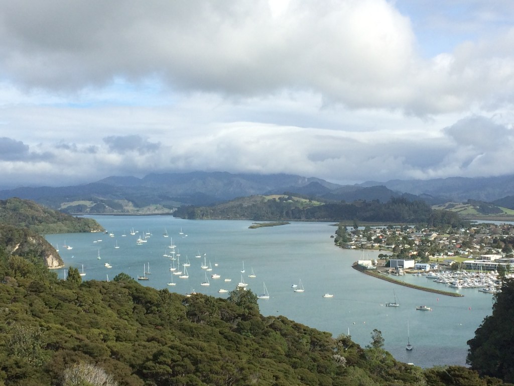
Inner harbour views from the top 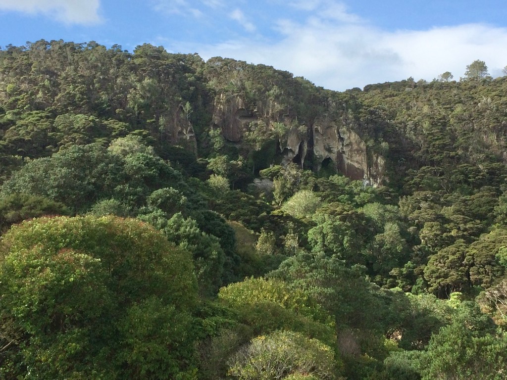
Caves behind Back Bay 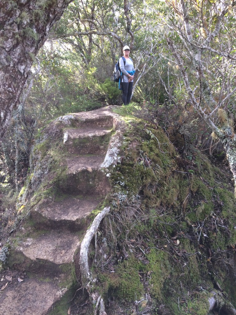
On the Pa Site 
Ferry Landing Purangi Road
This is a great walk, with a combination of pavement, beach and bush tracks – some a bit steep and slippy if wet! The walk starts at the Whitianga Ferry, perhaps after some great coffee / morning tea / lunch cafes across the road from the Ferry. Once suitably nourished take a short ferry ride to the south side of the river and to Purangi Road.
Instead of walking up the road, cut up left via the cemetery and enjoy the wonderful trees and views before rejoining the road over the hill to Front Beach and Flaxmill Bay.
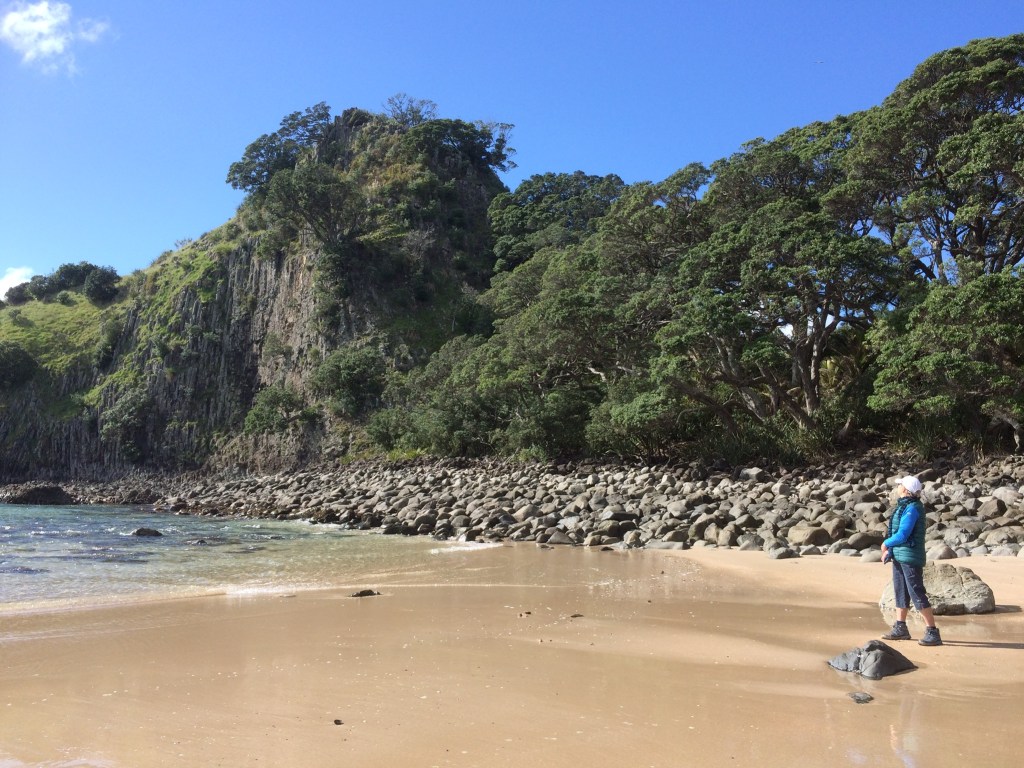
The beach has a number of paths that drop down to it from Purangi Road. So take time and stroll along the shoreline, some wonderful rock formations – wave form limestone with cinder lumps- and super views across to Shakespeare Point.
But our next reference point is back up on Purangi Road where you are looking for the sign on your right as you head away from the Ferry to the Maramatotara Track.
The track ascends quite quickly and if the weather has been wet, then good walking shoes or hiking boots might be preferred over trainers. There are a number of good viewing points along the way. The track down on the other side of the hill is not as well formed as the one you ascended by. We think this “ clockwise” Maramatotara route is the best way to take around this walk.
As you head back towards the Ferry, reaching Back Bay, do look up and right to the wonderful caves eroded into the rock face. From here you have the option of going straight back to the Ferry or up the hill, taking a left fork up to the Pa Site.
We would thoroughly recommend this side trip, but do be aware that the Pa is a great defensive position, for obvious reasons. So if you have an issue with heights, take care.
Returning to the Ferry, there is a small car park here with excellent toilets!!
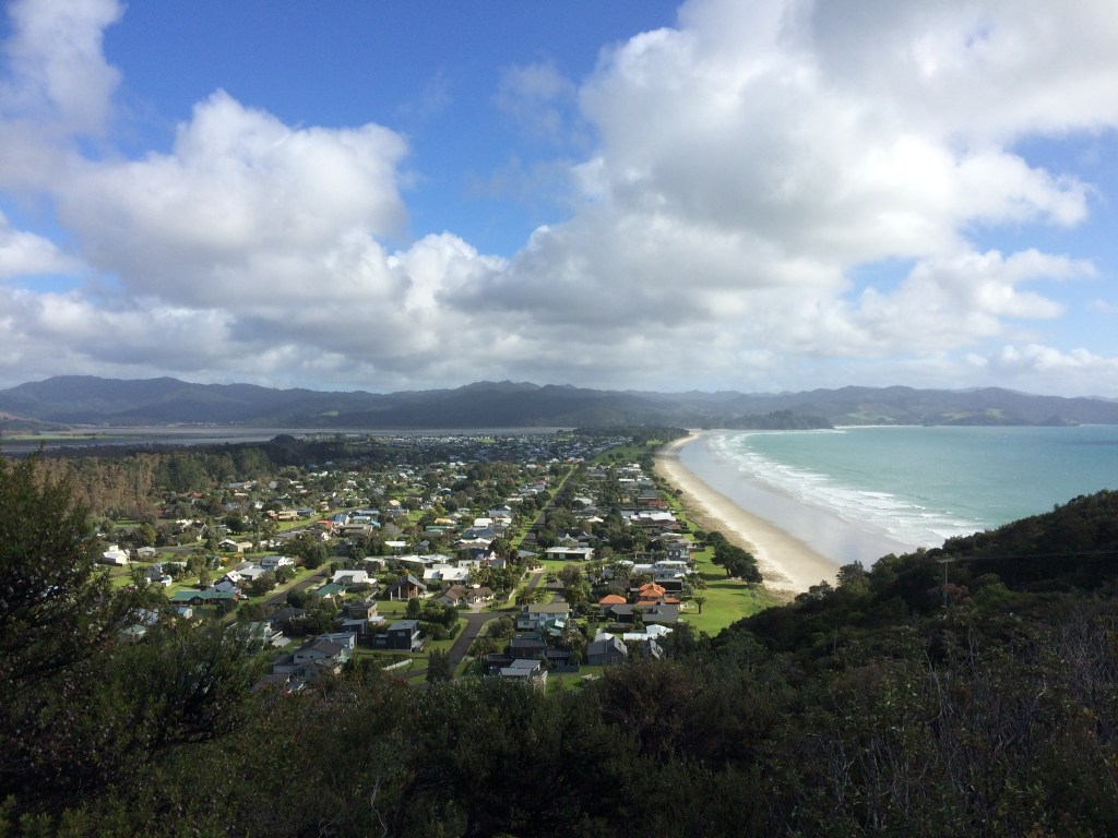
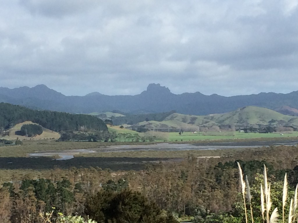
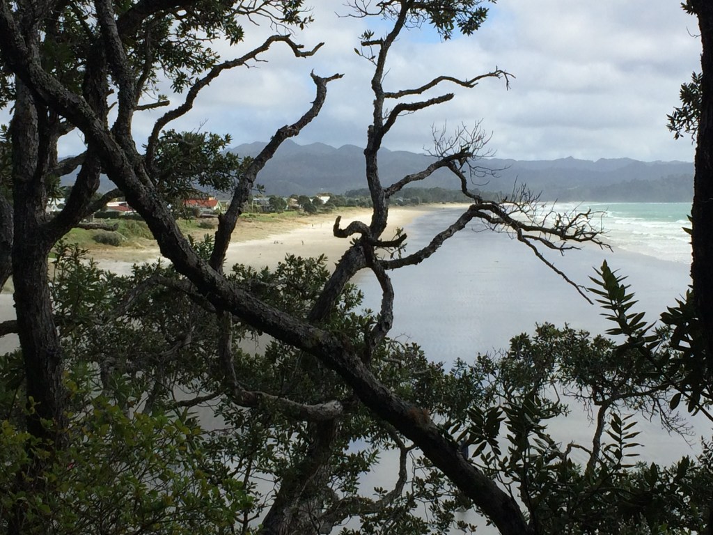
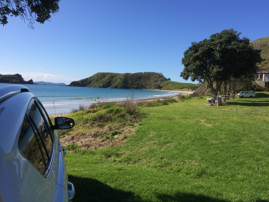
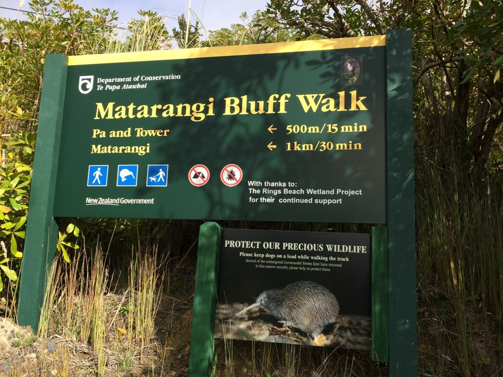
Walk 3 – Rings Beach & Matarangi Bluff Loop Walk – 144m of elevation and 3km approx. And Luke’s Kitchen, Kuaotunu Beach .
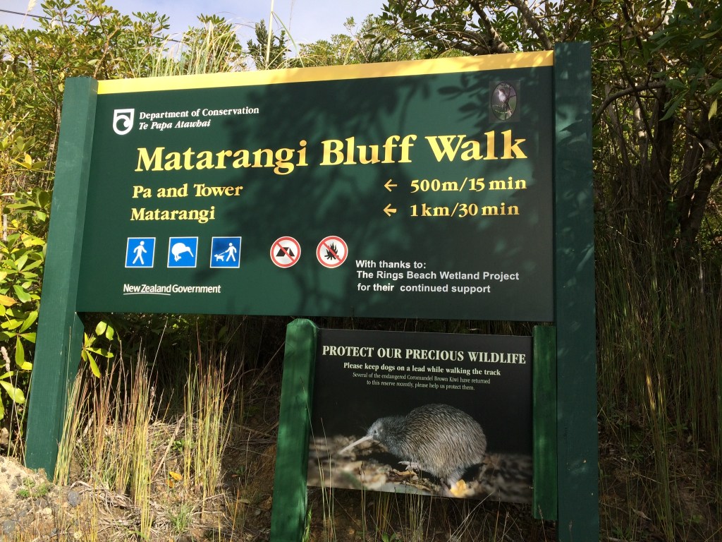

Rings Beach is about a 25 minute drive from Whitianga Wharf. Along the way at Kuaotunu maybe stop for coffee on Black Jack Road at Luke’s Kitchen, and even return there for lunch – highly recommended but do check out opening times!!
Drive to the farthest end of Rings Beach, after turning right off the main State Highway 25, and park above the beach but across the stream by the track entrance to the Matarangi Bluff Loop walk.
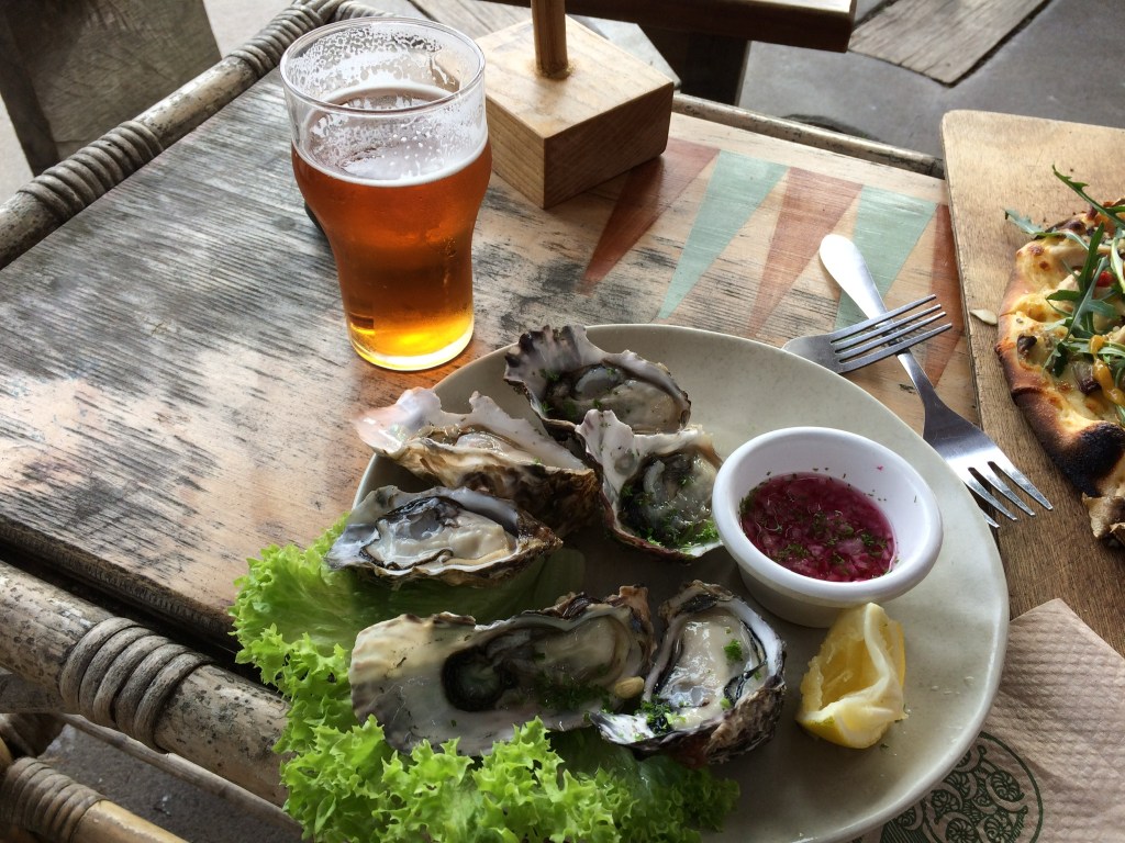
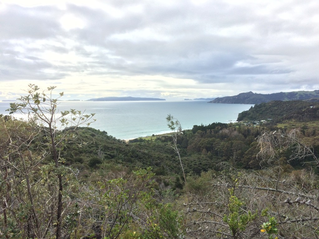
It’s a pretty walk, with a good view point looking back down to Rings Beach. Towards the top of the hill take the right fork up to the microwave mast. The track gets a bit grown over, but persevere, for good views up over Matarangi and beyond. This is an up and back diversion, then on return, continue down towards Matarangi. The track joins a road, turn right and follow along to the Bluff road that has no vehicle through access. Walk along the Bluff road, there is a rocky promontory that with care affords great views. Continue back to the car park, and head to Luke’s Kitchen for pizza, fresh oysters or whatever takes your fancy.
Walk 4 Opito Bay to Crayfish Bay & Return – approx 2.5km
View of the walk from Car Park 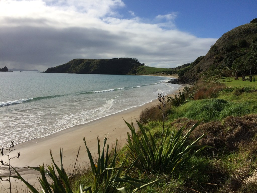
Path from Opito Bay to Crayfish Bay 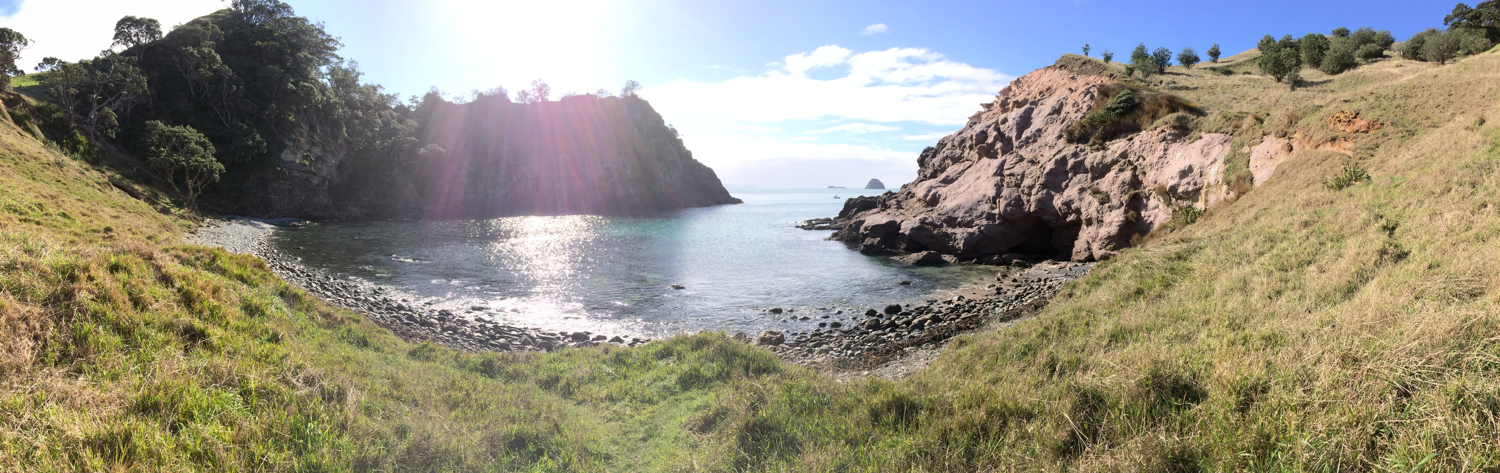
Crayfish Bay 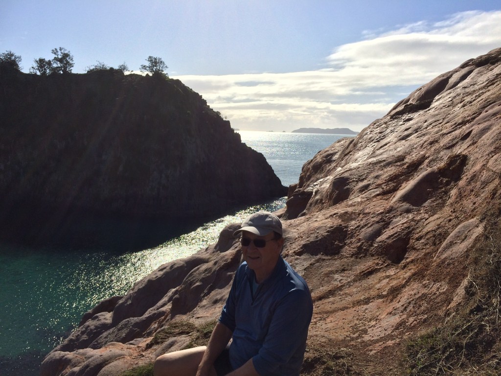
Above Crayfish Bay 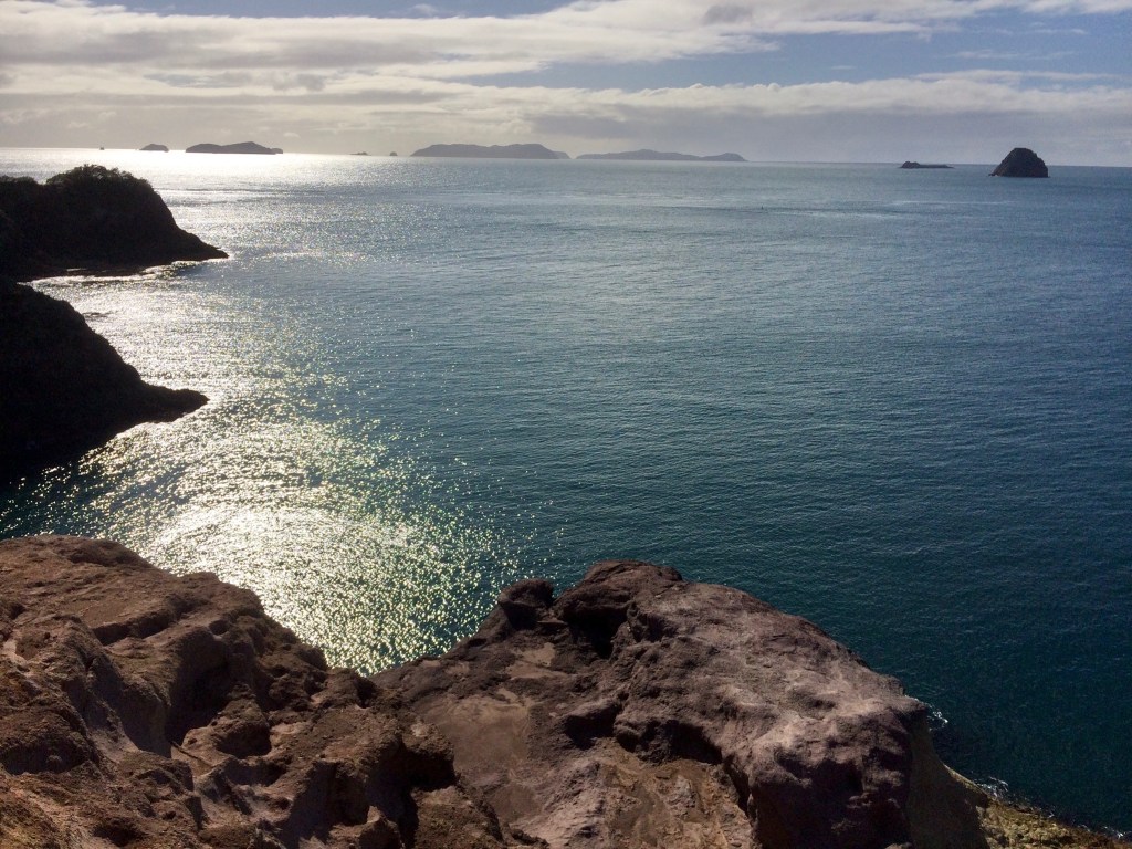
Views from pathway above & to right of Bay 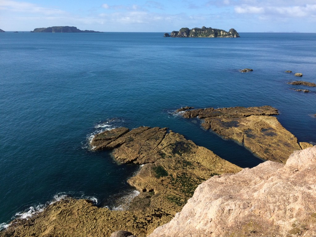
Exposed cliff edge but stunning views
Opito Bay is about a 35 minute drive north of Whitianga, from Kuaotunu some of the road is unmetalled, but it’s a good drive with great views. Drive to the farthest end of the beach and park. The walk heads away from where you have parked and just after the start of the walk, if the tide is high you will have a careful scramble over a volcanic rock outcrop. At mid to low tides there is a wide, lovely sandy beach to walk on.
The first half of this walk is what one also uses to get to the Pa at the end of the beach, but for this walk to Crayfish Bay. Walking along the beach, just before the end, on your right you will see a substantial white pole that identifies your path. As you bear right you will see ahead a stile to cross over and on the side of the hill ahead further white poles that show the pathway.
It’s a short walk around and over the hill, over another stile to Crayfish Bay. Great views of the Bay, but if you feel up to it, another path heads up to the right for some truly stunning views, as shown in the pics above.
Return to the car park by the same way.
5. Opito Bay to Opito Pa and Return – 3.5km approx & 200m of elevation

Opito Bay view from car parking along the beach to OpitoPa. 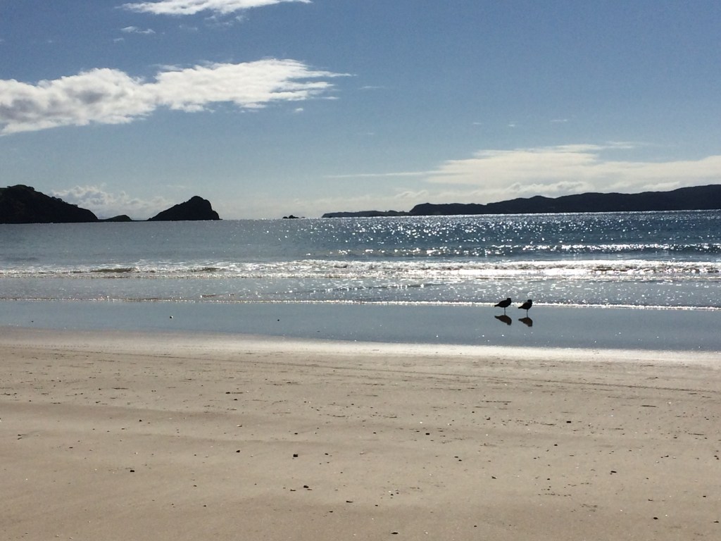
Opito Bay beach & oyster catchers 
Path & steps at beach end up to Pa 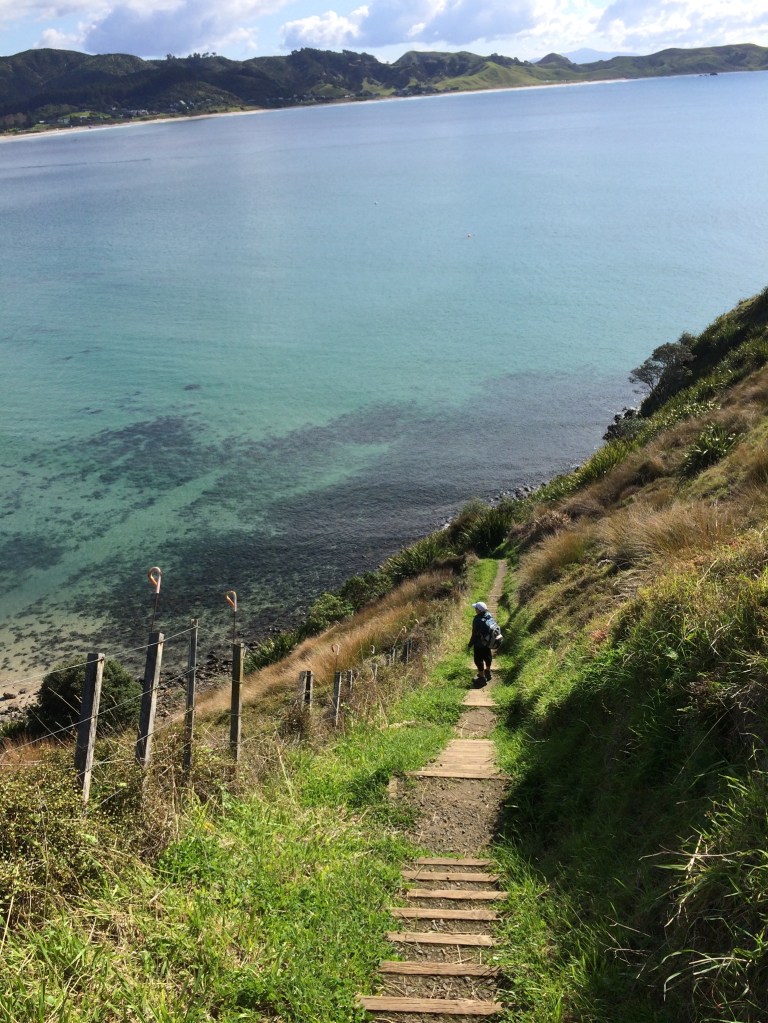
Stairway to heavenly views 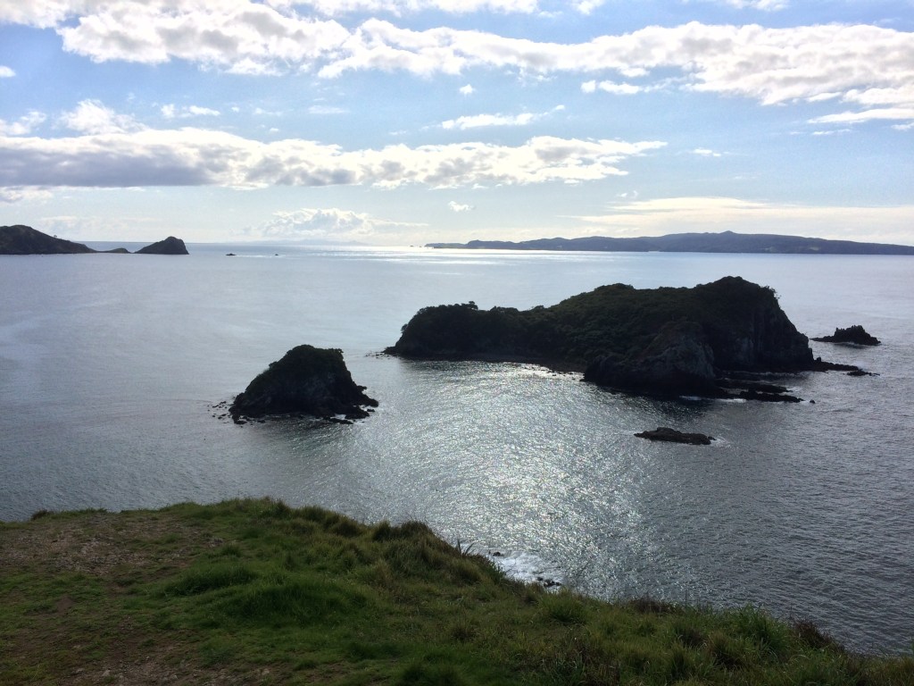
View from the Pa 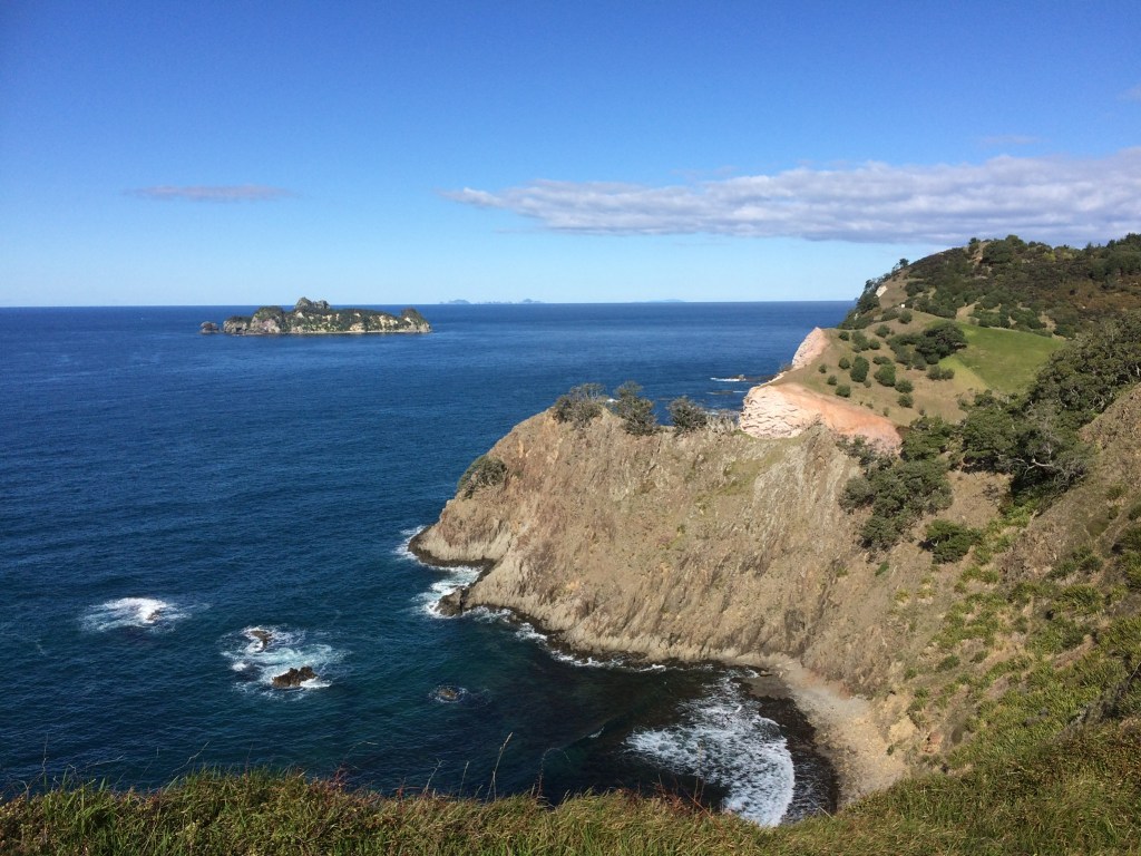
Pa view 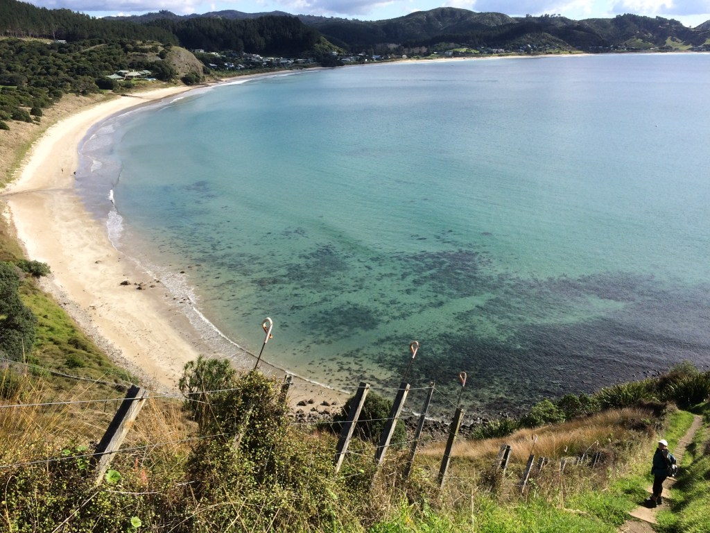
Sweeping Curve of Opito Bay
This is a super shortish walk that has a short steady climb up well maintained steps to the Pa on the cliff end of Opito Bay. You can see your destination from the car park.
As with the Opito to Crayfish Bay walk, be aware of the tide state for the stretch of volcanic rock near to the car park. At high tides you may be scrambling carefully over these rocks, at mid and low tides the sand makes for an easy walk.
Once you get up to the Pa the amazing defensive qualities of a Pa are more than self evident!!Enjoy the views, they are stunning.
Return by the same route, taking care down the steps.
6. New Chum Beach with Optional Rock Scramble Up & Down – 3.25km & 39m of elevation
Car Park Notice of the Walk ahead. 
Rock scramble 
New Chum Beach view from Peninsulat 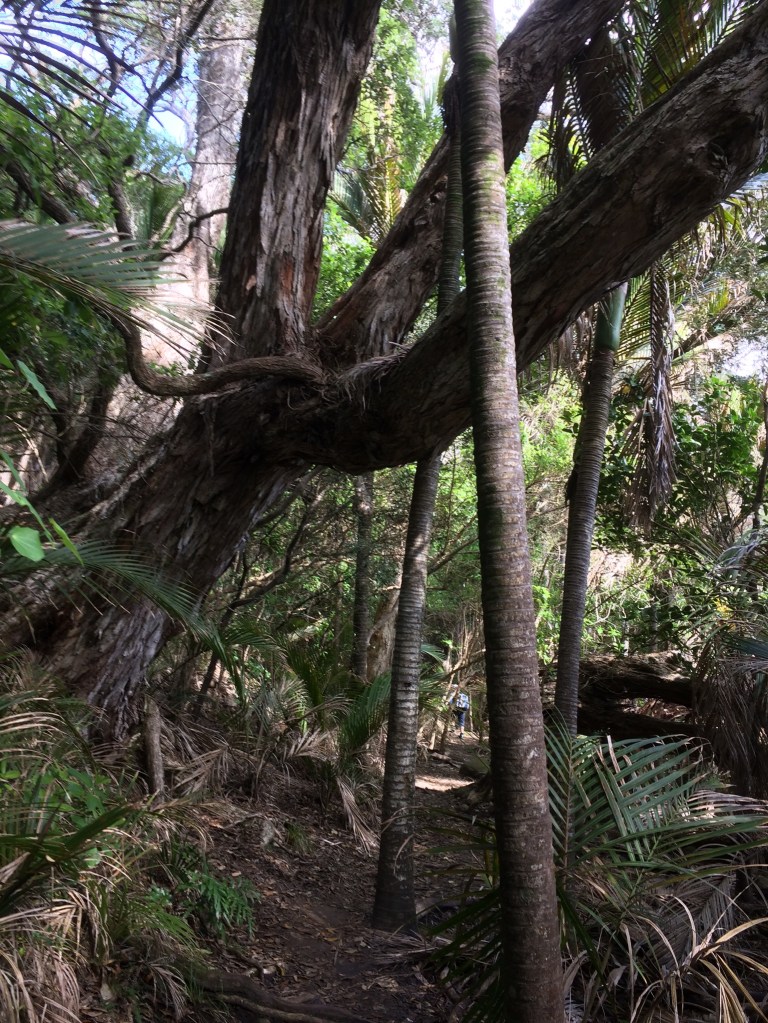
Beach view through the trees. 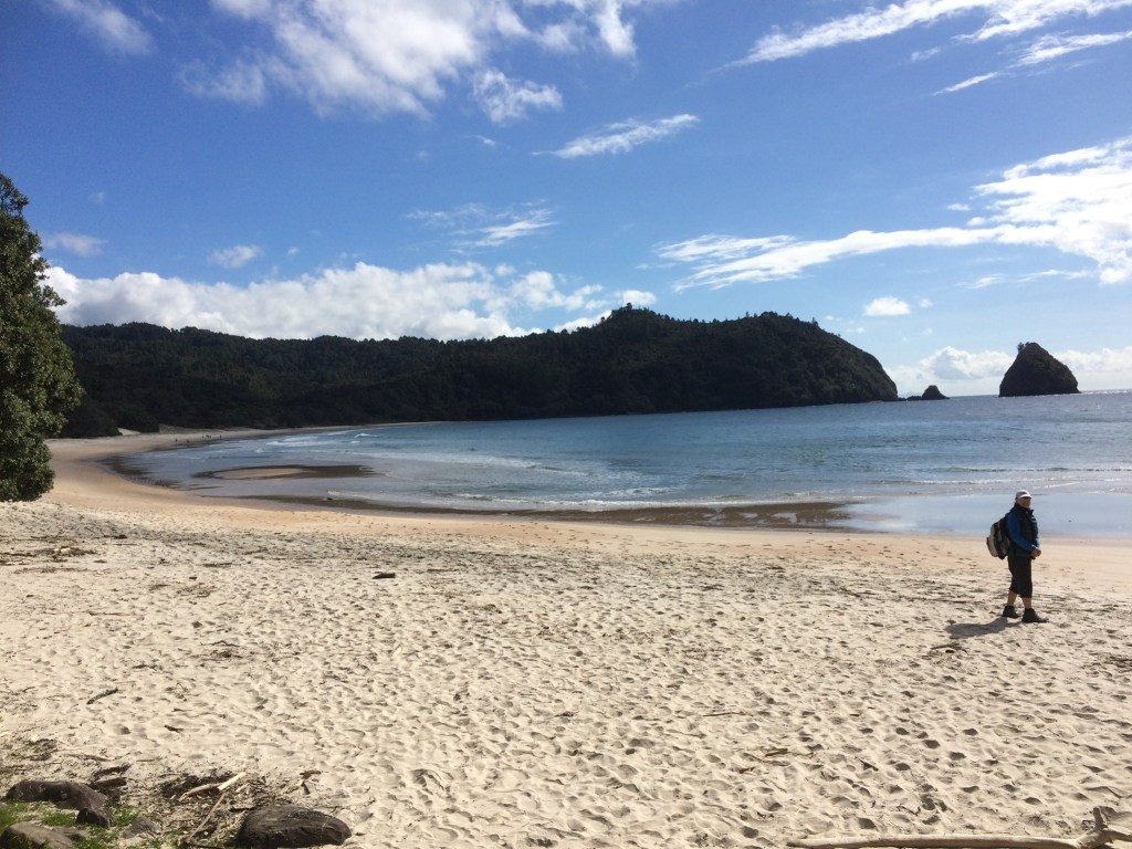
New Chum Beach and Peninsular
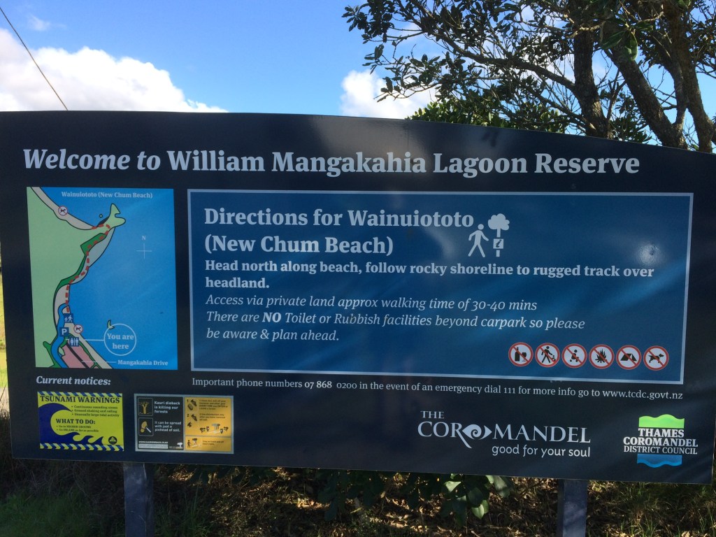
A 40 minute drive north from Whitianga will bring you to Whangapoua and the walk to Wainuiototo (New Chum Beach). The walk is not a straightforward stroll, but it is definetly worth the effort required.
Leaving the car parking area, the map picture above shows the direction of the walk to New Chum Beach. Heading across the sand, you will need to cross a stream. Depending upon the recent rainfall this may be a trickle and easily crossed, or as when we did the walk in August, we had to remove shoes, cross in bare feet and then dry with the swimming towel we had fortunately put in the rucksack.
The actual track now requires some careful clambering over rocks that will be covered at high tide, so again an awareness of the tide times is important. The track follows the edge of the foreshore and then cuts up through the bush. After a short incline the track splits, heading down some rock steps to New Chum Beach that can just be seen through the trees below.
At this point an optional side track takes you sharply up to your right, and via an interesting rock scramble, onto the peninsular that then overlooks New Chum Beach, affording some outstanding views. The rock scramble has to be accomplished both up and down the same route, so do take great care.
The walk overall is not too long, but it has its tricky patches, particularly over the rocks on the foreshore, but persevere it’s so well worth it.
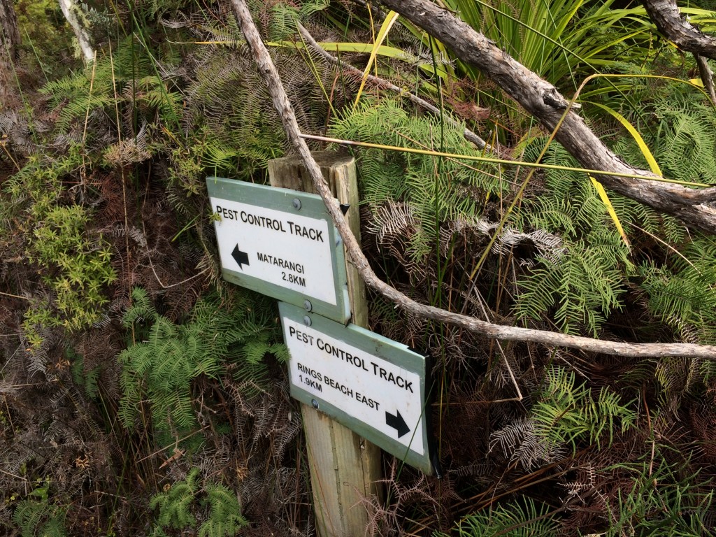
7. Rings Beach Wetlands Loop – 6km and 300m of elevation – if wet underfoot then footwear with good walking soles is advised as parts of the track may be muddy and slippery.
Track start 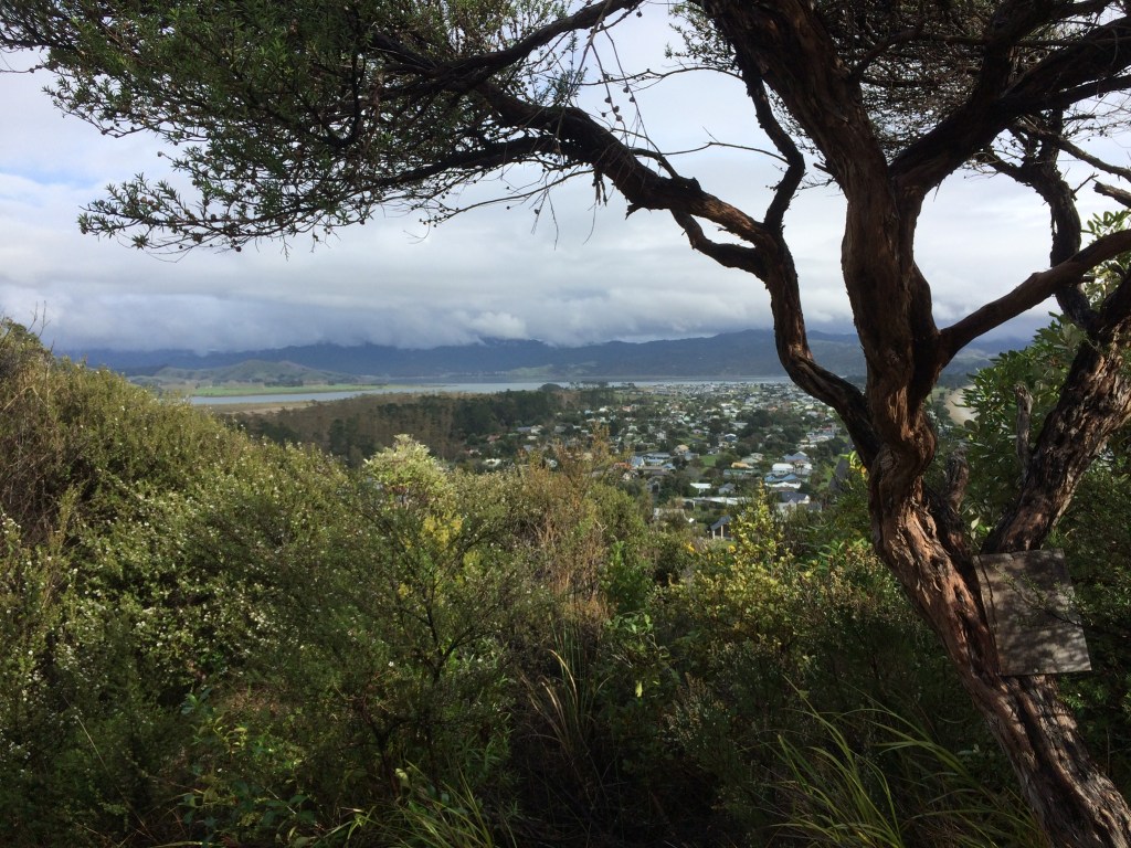
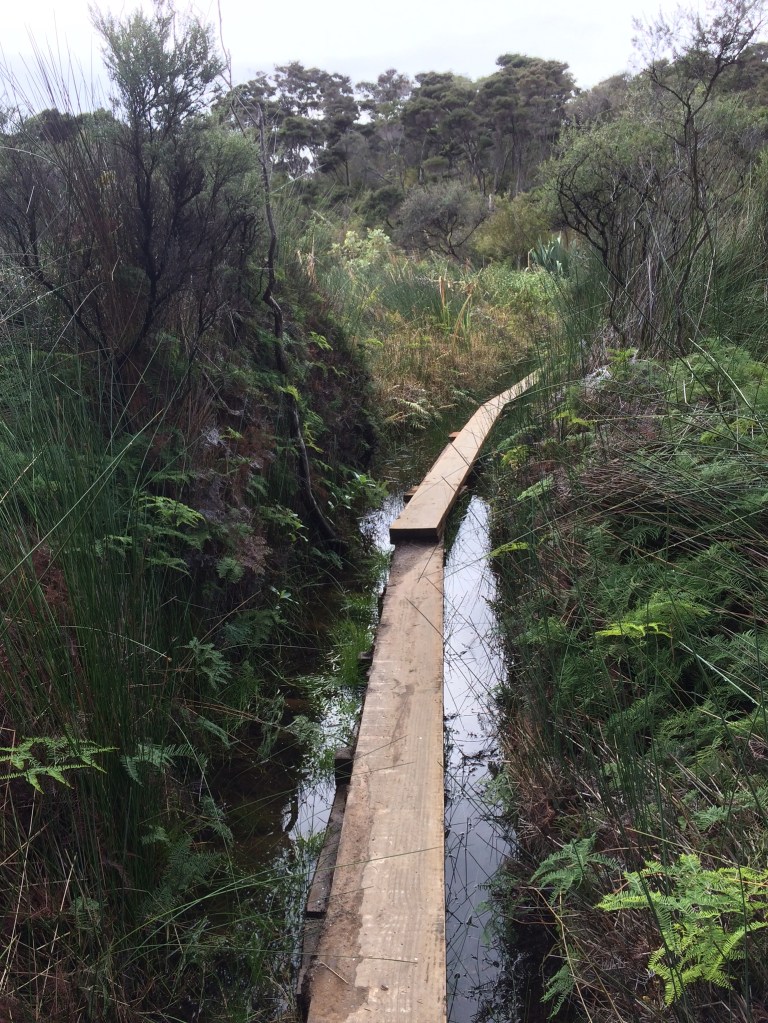
Wetlands 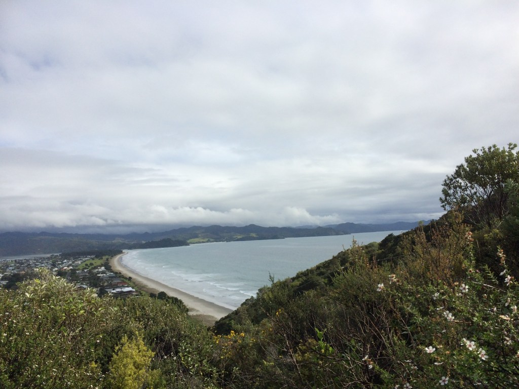
Looking back at Rings Beach
This walk is a variation and significant extension to the Matarangi Bluff Walk described in Walk 4 above. When we did this walk we parked at the Kuaotunu ie east end of Rings Beach and walked along it to the Bluff Walk start. The track has an easy ascent up, with a stopping place for views back over Rings. A little further there is the fork right up to the Microwave Tower, go past then and you will see the track goes right down to Matarangi and left for the Wetlands Loop Walk.
Heading left the Wetlands Loop Walk cuts up and along the ridge where many wilding pines have been cut down opening up views all around. The track heads down into the valley and then cuts a loop up and around a ridge before coming to a cross ways in the path. Take the Ringways Beach East way across the wooden duck boards and the wetland area. The track cuts up the hill and comes out onto the road above the east end of Rings Beach.
Your car Park is a few hundred metres down the road.
